Harviana
"Empowering farmers and decision-makers with intelligent insights for sustainable agriculture in the highlands of Benguet."
"Empowering farmers and decision-makers with intelligent insights for sustainable agriculture in the highlands of Benguet."
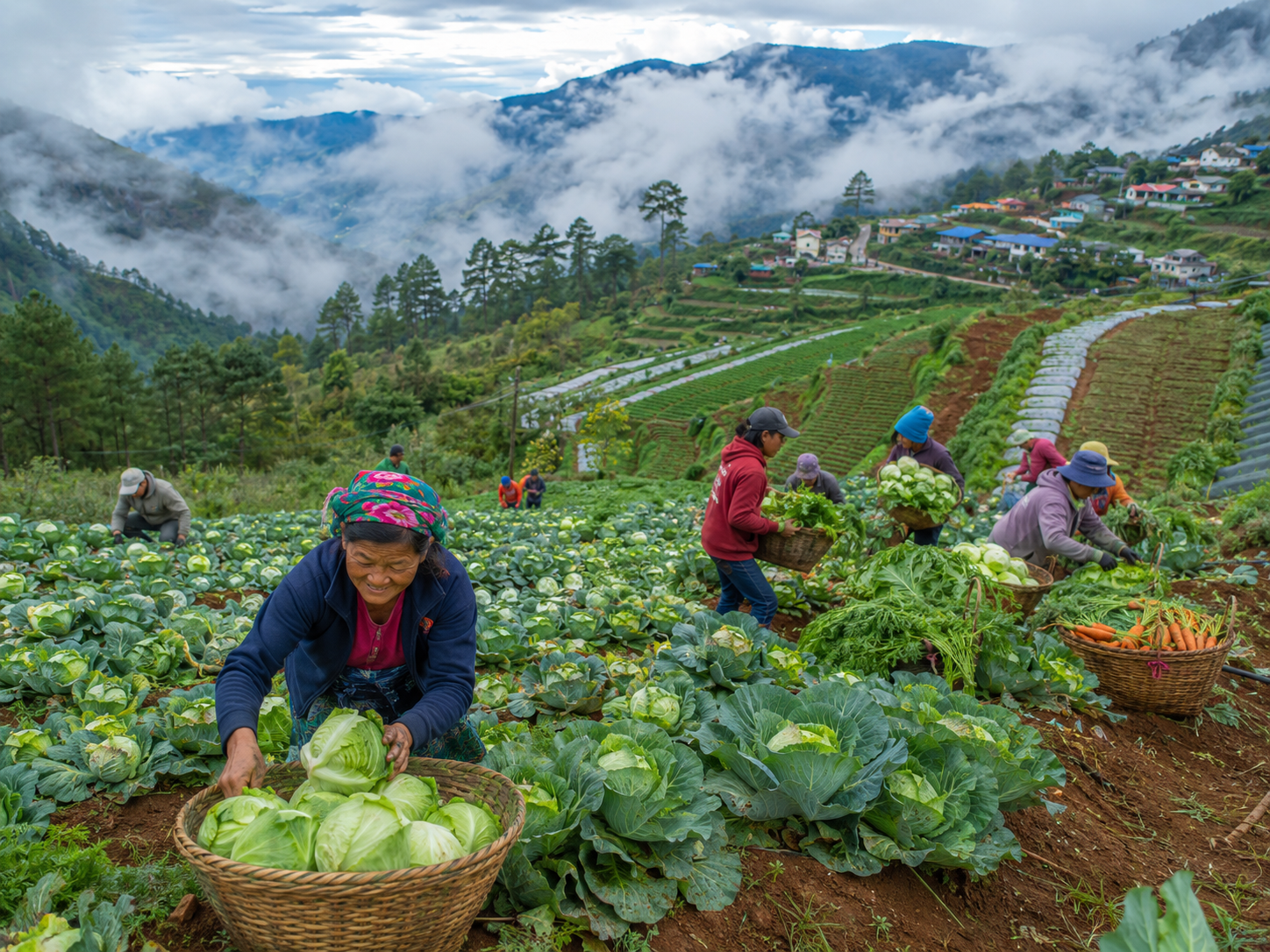
Harviana is a cutting-edge GIS-Integrated Decision Support System designed to revolutionize agricultural planning in Benguet Province.
By combining Geographic Information Systems (GIS), Machine Learning, and real-time data visualization, we empower farmers, agricultural officers, and decision-makers with actionable insights.
To transform agricultural decision-making in Benguet's highlands through innovative technology and accessible data visualization.
Powerful tools designed to help you make informed agricultural decisions
Visualize crop production trends across Benguet municipalities with color-coded heatmaps and interactive tooltips.
Leverage Random Forest machine learning to predict crop yields based on historical patterns and environmental factors.
Comprehensive data visualizations including trend charts, seasonal patterns, and comparative analysis tools.
The passionate developers behind Harviana